Kingman to Flagstaff in a Hurry
August 12-13, 2012
This weekend I hopped in the car and drove Route 66 just for fun. This would be an easy tour out of Las Vegas—you could fly in, rent a car, and head a hundred miles southeast to Kingman. It is a scenic drive, especially going over Boulder Dam on the Mike O'Callaghan-Pat Tillman Memorial Bridge. I drove up from Phoenix, which is also a beautiful drive. This is a page of my photos from the trip.
Kingman * Hackberry * Grand Canyon Caverns
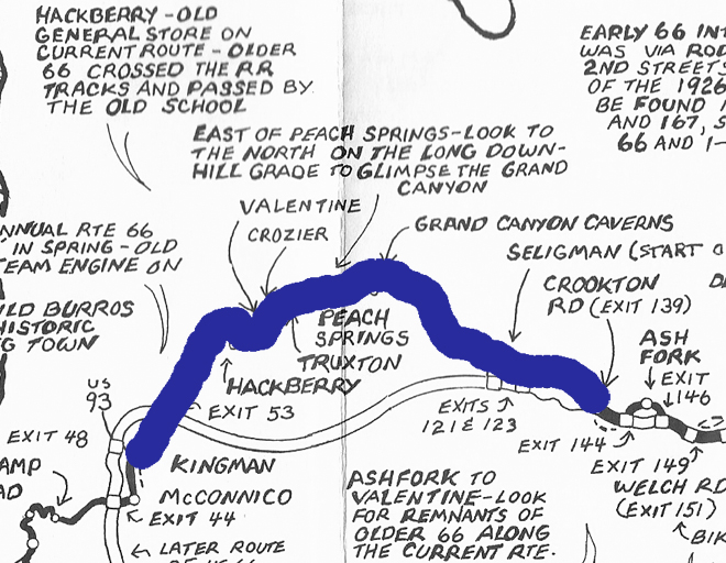
This map shows where to find Route 66 east of Kingman. It is a short leg of the excellent map kit, Route 66 Here It Is! Map Series, by Jerry McClanahan and Jim Ross, of the National Route 66 Federation in Lake Arrowhead, California. Click here to see the maps at Amazon.com or visit 66maps.com. Jerry McClanahan is also the author of the book, EZ 66 Guide, which nearly all travelers bring along to look up historic sites along the old highway. Click here to see EZ 66 Guide for Travelers at Amazon.com. Visit the National Historic Route 66 Federation - click here.
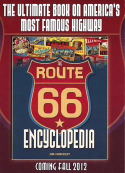
While in Kingman, the friend I stayed with arranged for me to meet Jim Hinckley, author of Ghost Towns of Route 66 and the forthcoming Route 66 Encyclopedia. His website is Route 66 Chronicles.
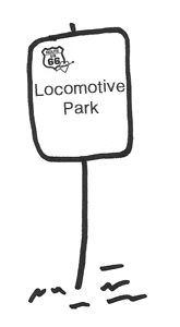
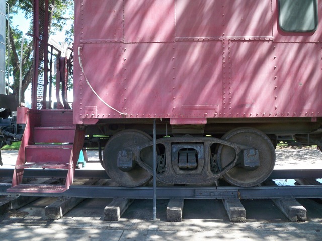
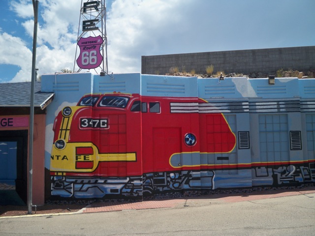
Coming from Las Vegas, Highway 93 takes you right into Kingman. You know you have arrived when you get to Locomotive Park. It is a green park in the meridian with a real Santa Fe train engine and red caboose. Turn and look for a parking place. That is the heart of the Route 66 historic district in Kingman. You can inspect the trains and walk to the Powerhouse Museum, across the street.
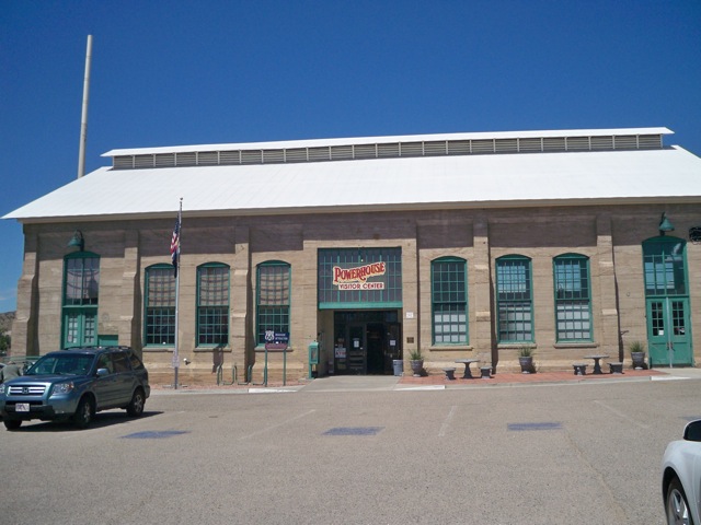
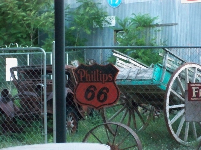
The Powerhouse Museum is so named because the building once housed the public utility company. The address is 120 West Andy Devine Avenue, and the street is named after the actor Andy Devine (1905-1977), who was born in Flagstaff and grew up in Kingman.
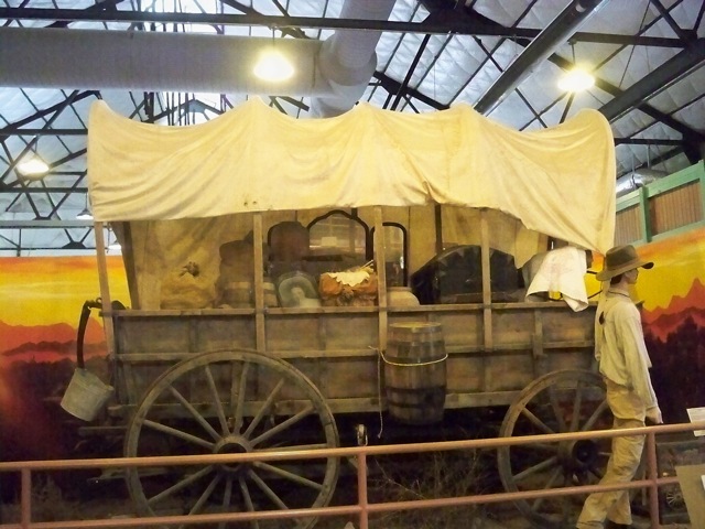
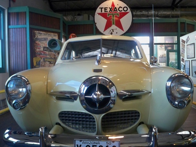
The museum houses old and new modes of transportation and tells the history of Kingman.
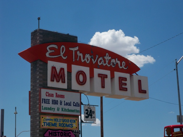
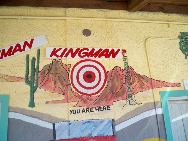
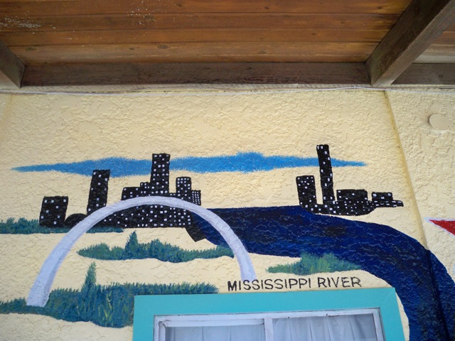
The El Trovatore Motel is a pre-WWII tourist court that was slated for demolition, but then saved. The current owners are Sam and Monica, and a neighbor of the person I stayed with recommended that I see it.
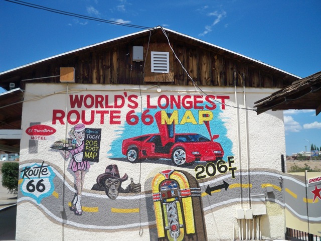
The motel has a brilliantly colored mural known as the world's largest map of Route 66. It covers around all the walls of the motel.
The artist, Dan Louden, happened to be in town that day to make repairs to the hotel's neon sign.
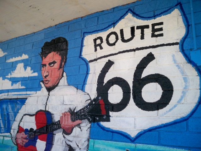
The motel offers theme rooms based on stars of the era: Elvis Presley, Frank Sinatra, Marilyn Monroe, and more.
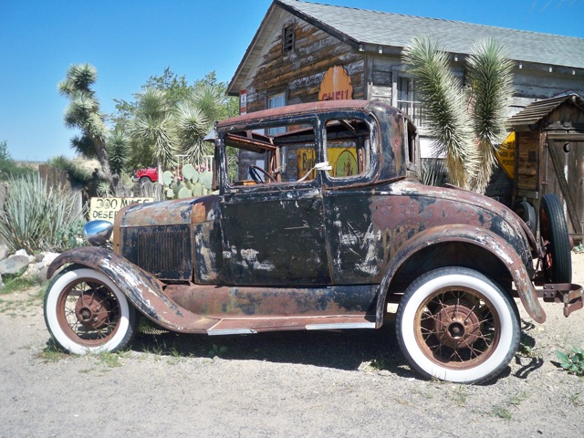
To see the sights east of Kingman, make a right out of the Powerhouse Museum or El Trovatore Motel, and go straight on 66 for twenty-eight miles to Hackberry General Store.
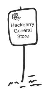
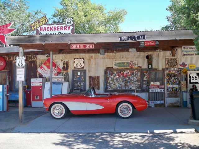
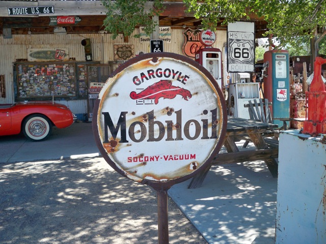
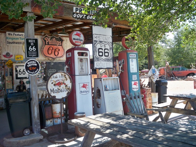
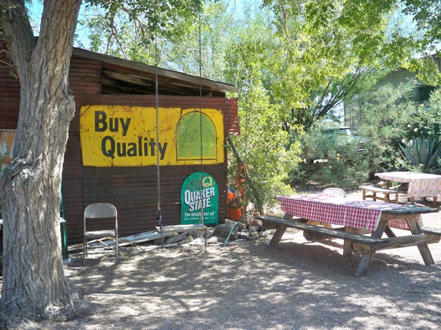
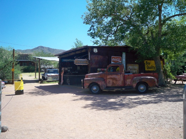
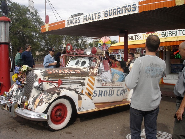
The Hackberry General Store is a gift shop and outdoor museum. This is a magical meeting place where people may walk in on stilts, cruise in driving anything from a 1956 Chevy to a stage coach, or you could get fifty Route 66 motorcycle enthusiasts. Anything could happen, author Jim Hinckley told me. He said that people come from around the world, and that most of the conversations are in other languages. That was certainly my experience when I went there.
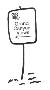
From there, continue on the highway to pass the small towns of Valentine, Crozier, Truxton, and Peach Springs. On the left: views of the Grand Canyon!
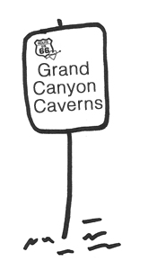
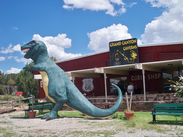
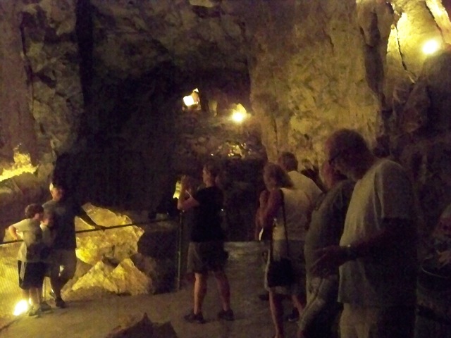
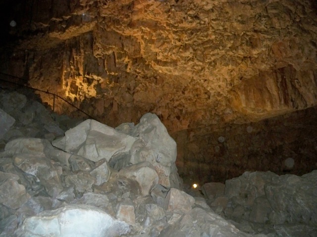
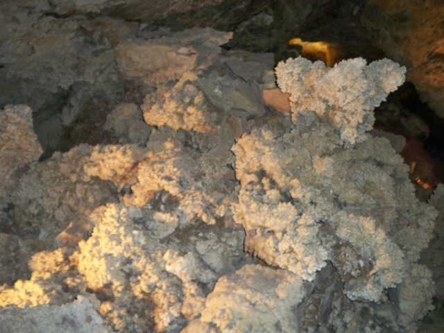
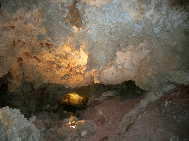
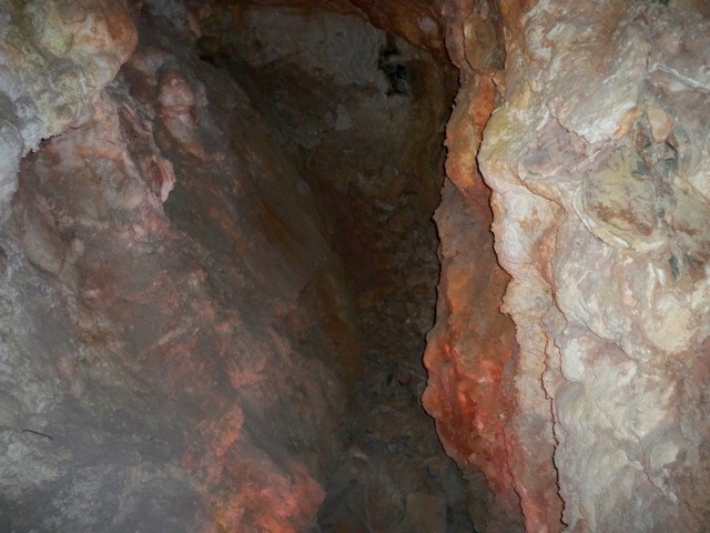
After the town of Peach Springs, go another twelve miles to the Grand Canyon Caverns. They are historic, they are large, and they would be dark as hell without modern electrical lighting.
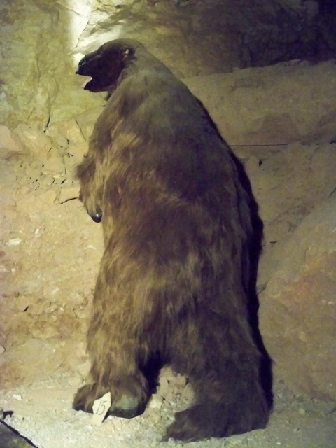
The attraction was once known as Dinosaur Caverns, because of large bones they found while excavating a stairway. The bones turned out to be a sloth, so they changed the name. This is what the sloth would have looked like.
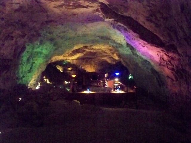
Visitors can rent the caverns for an overnight stay, but book well in advance, because it only sleeps six. The accommodations (shown above) are located in a patio in the cavern known as the Chapel of the Ages. They also perform weddings.
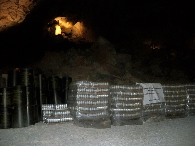
During the Cold War, President Kennedy designated all caverns and caves as fallout shelters. Thus, tons of water and provisions were brought in. Although never used, and certainly spoiled after more than fifty years, it is not cost effective to remove the goods. Thus, they remain in the cavern. Extra cases of water were added within the last few years.
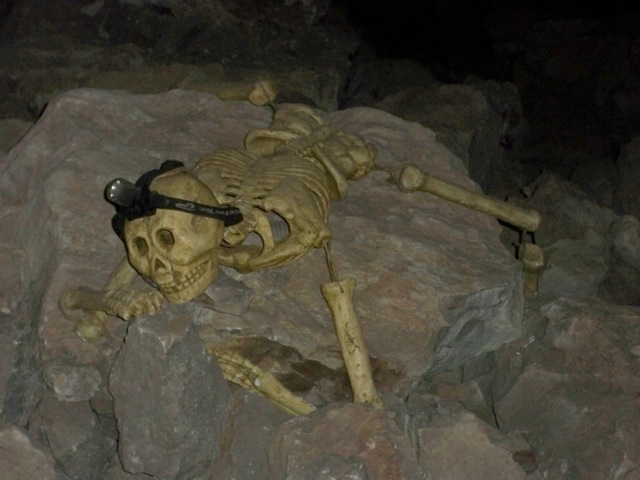
This disgusting sight still adornes the Mystery Room, so named because of a breeze coming from underground. After exploding a red smoke bomb in the cavern, they discovered the smoke coming from a wall in the side of the Grand Canyon three weeks later. Hence the name change to Grand Canyon Caverns. The air travelers breathe inside the caverns is three week old air from the Grand Canyon. It is a complete dead zone and nothing can live down there, including bacteria, insects, birds, bats, or animals. The tour is less than $20. It used to be twenty-five cents, but that was many years ago, before the elevator, walkways, and lights. Brave tourists were simply lowered in on a rope, and given a lantern and book of matches. That led to the caverns' nickname, Dope on a Rope.
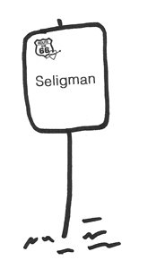
After leaving the Caverns, continue down the highway to Seligman, another opportunity to pick up souvenirs and mingle with Route 66 travelers. Seligman photo by Julia McDonnell.
There is more to see in Williams and Flagstaff. From there, turn off Highway 66 and head on south on Highway 89A, the scenic route that takes you through Oak Creek Canyon and Sedona. Or, just keep going on Highway 66 all the way to Chicago!
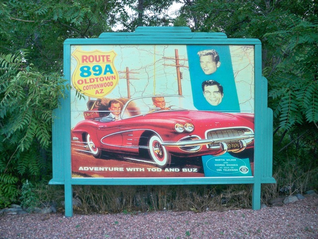
A celebration of Route 66 in historic downtown Cottonwood, a small town along Highway 89A.
Route 66 books and maps:
Route 66: EZ66 Guide for Travelers, 2nd Edition by Jerry McClanahan and Jerry McClanahan
Here It Is! The Route 66 Map Series, by Jim Ross and Jerry McClanahan
The Route 66 Encyclopedia, by James Hinckley (due out Nov. 2012)
Ghost Towns of Route 66, by Jim Hinckley and Kerrick James
Route 66 Dining & Lodging Guide, National Historic Route 66 Federation and contributors
If you are into old highways (in addition to this one) check out Truckers History Report: America's Oldest Highways, by Edward Green, creator of thetruckersreport.com.